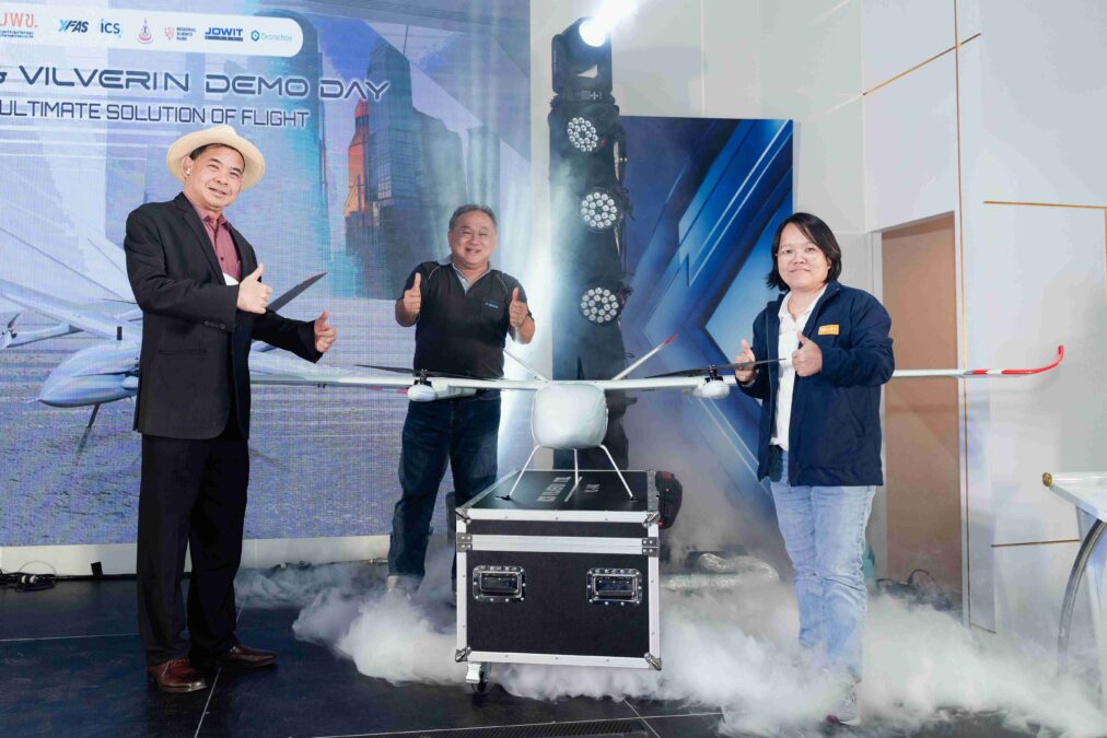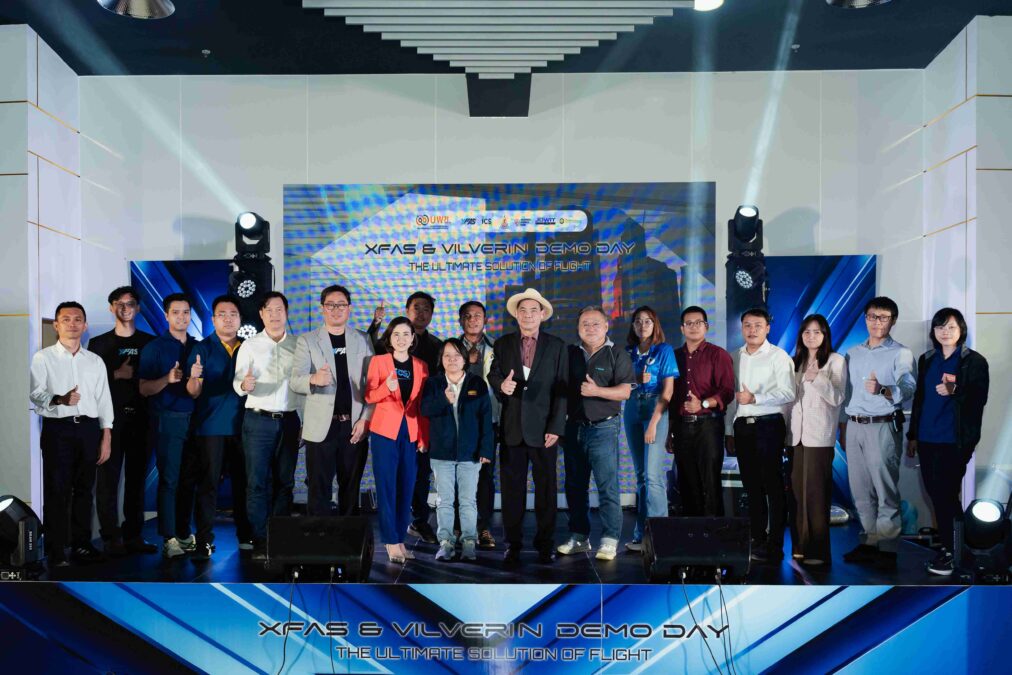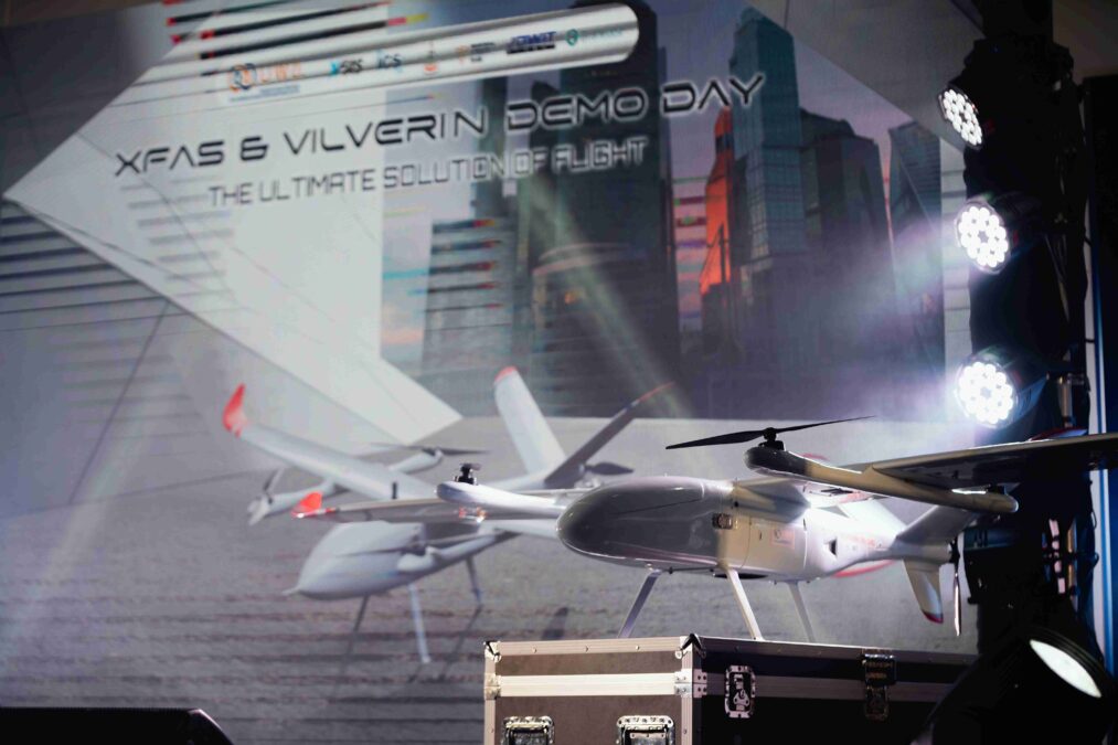
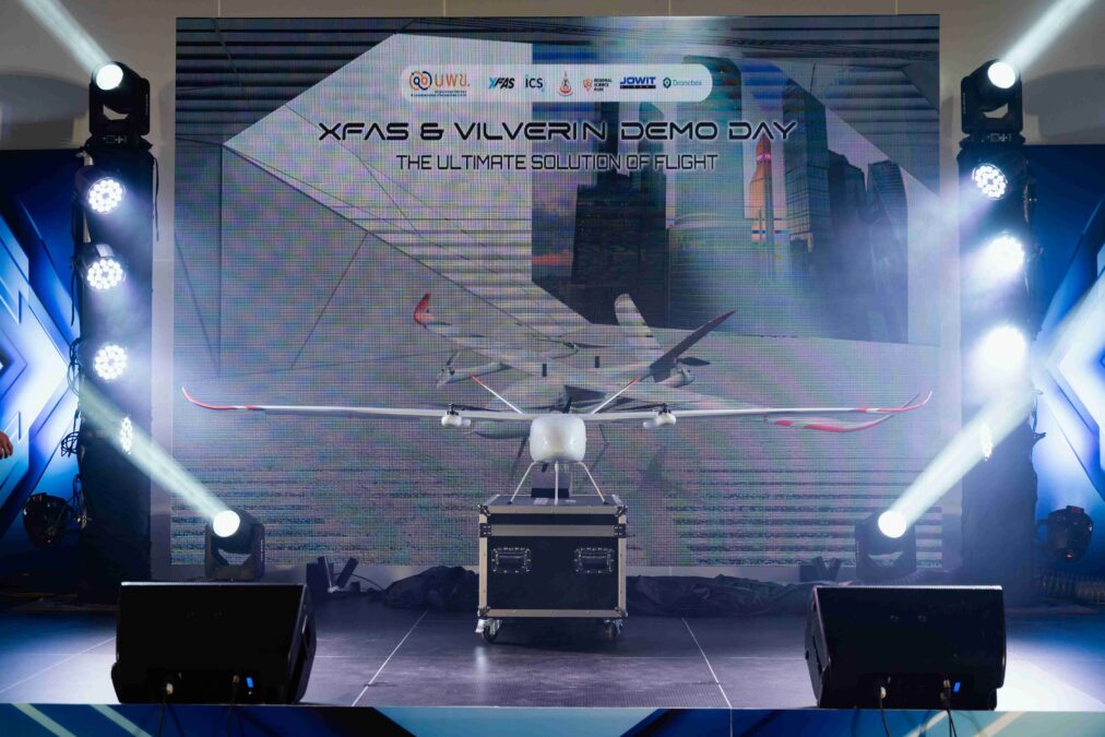

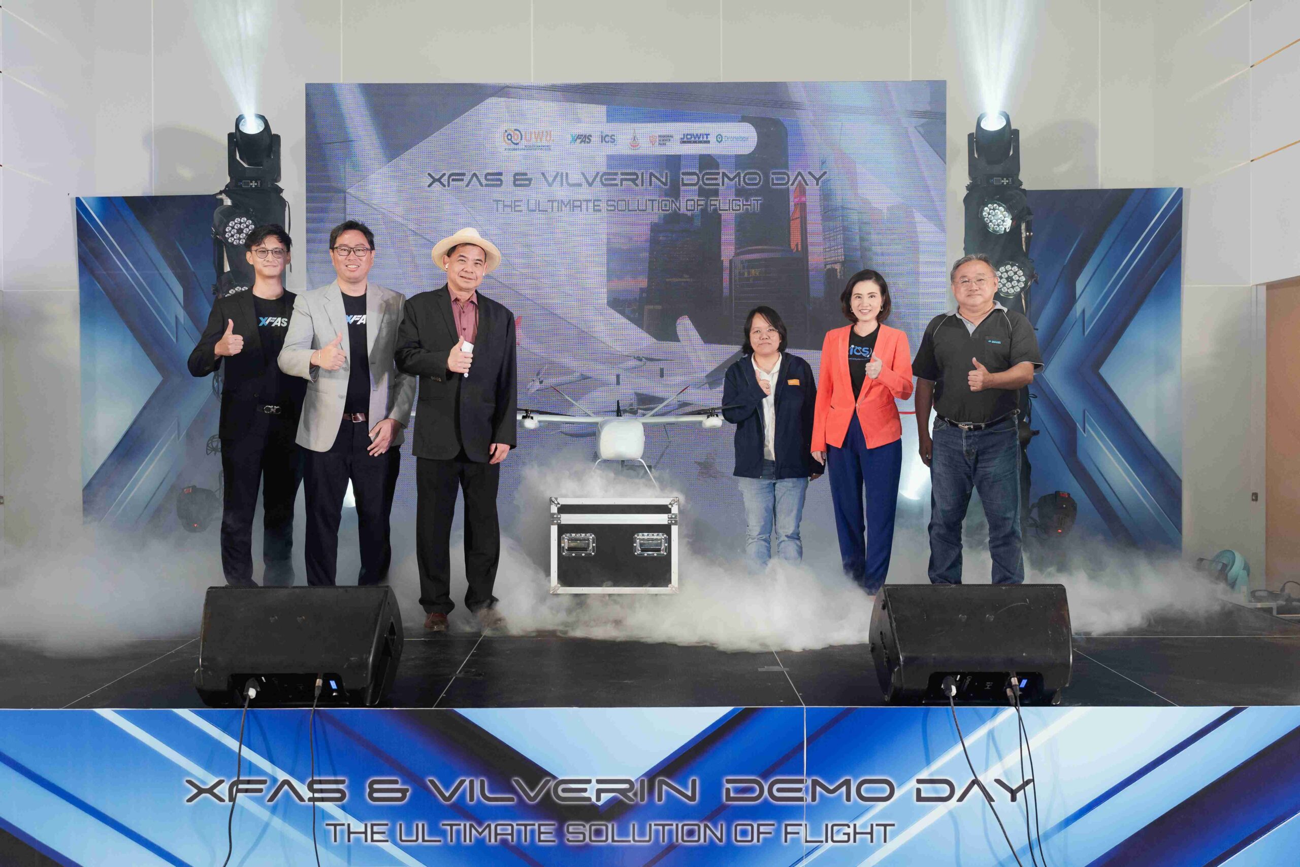
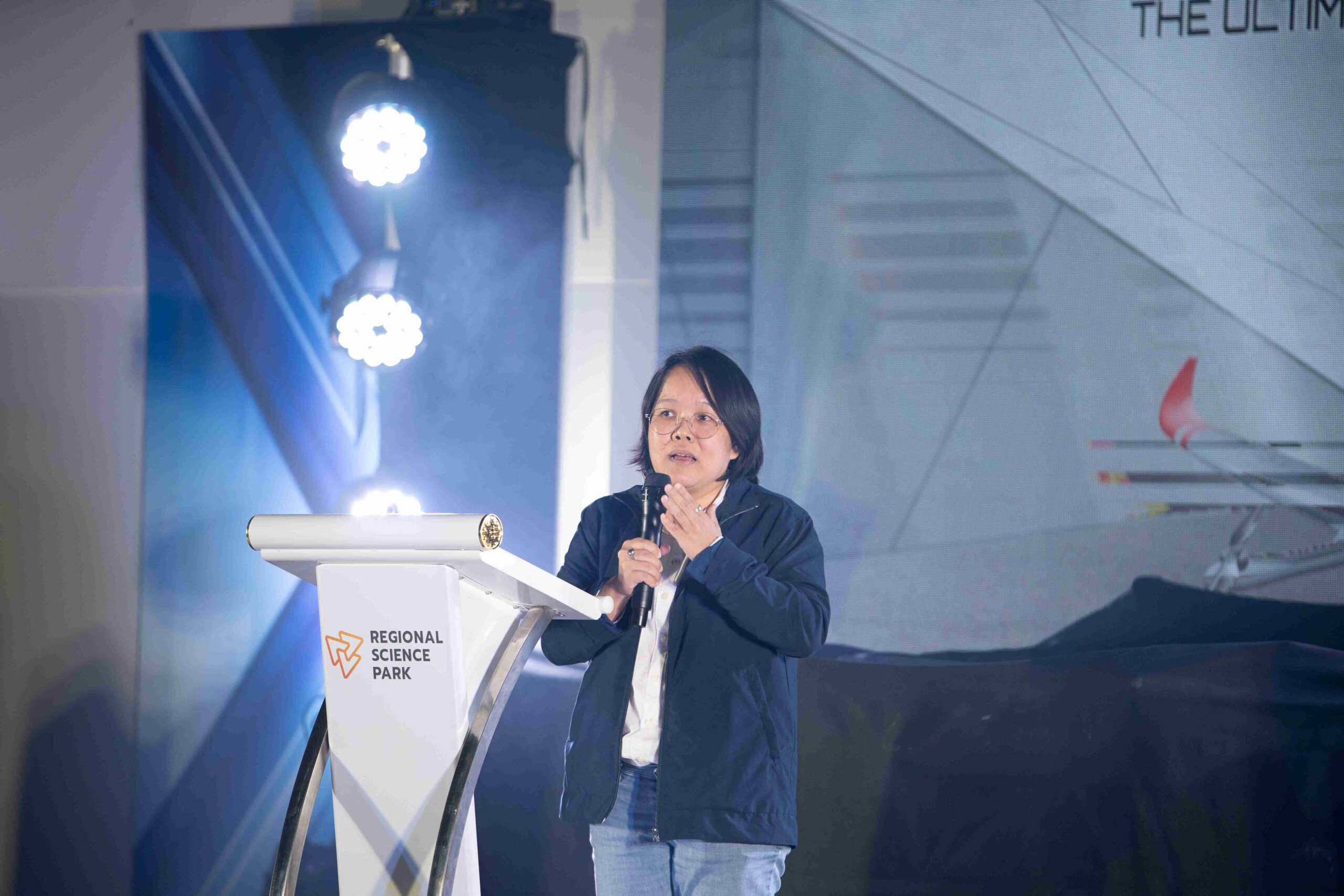
Associate Professor Dr. Vanaratch Santiamornrat, the Chairman of the Digital Platform Subcommittee, the Program Management Unit for Competitiveness (PMUC), along with the committee and staff, introduced the XFAS (Everything Fast as Services) platform, which provides weather data services using unmanned aerial vehicles (drones) developed by Thais, at the ‘XFAS & Vilverin Demo Day’ event held on September 24, 2023, at the Lower North Eastern Region Science Park, Suranaree University of Technology.
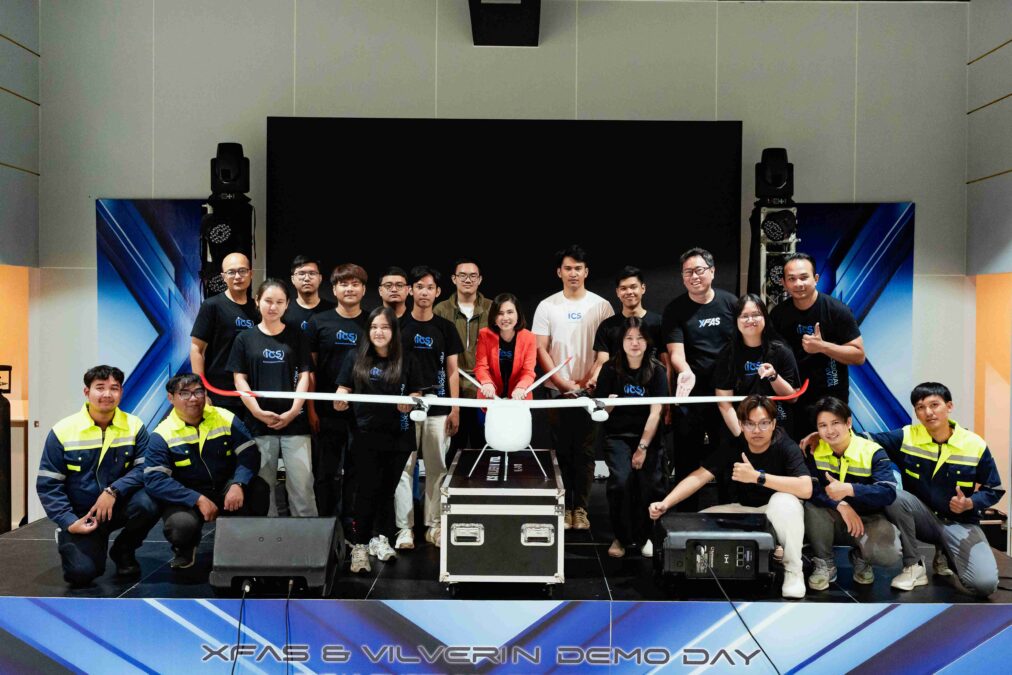
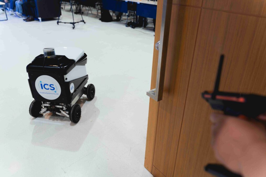
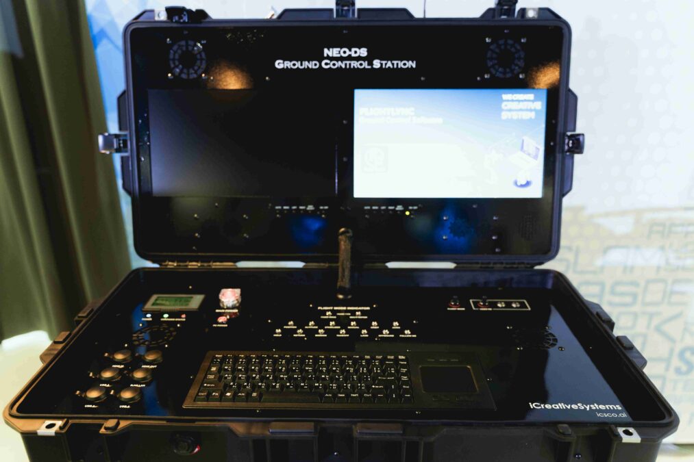
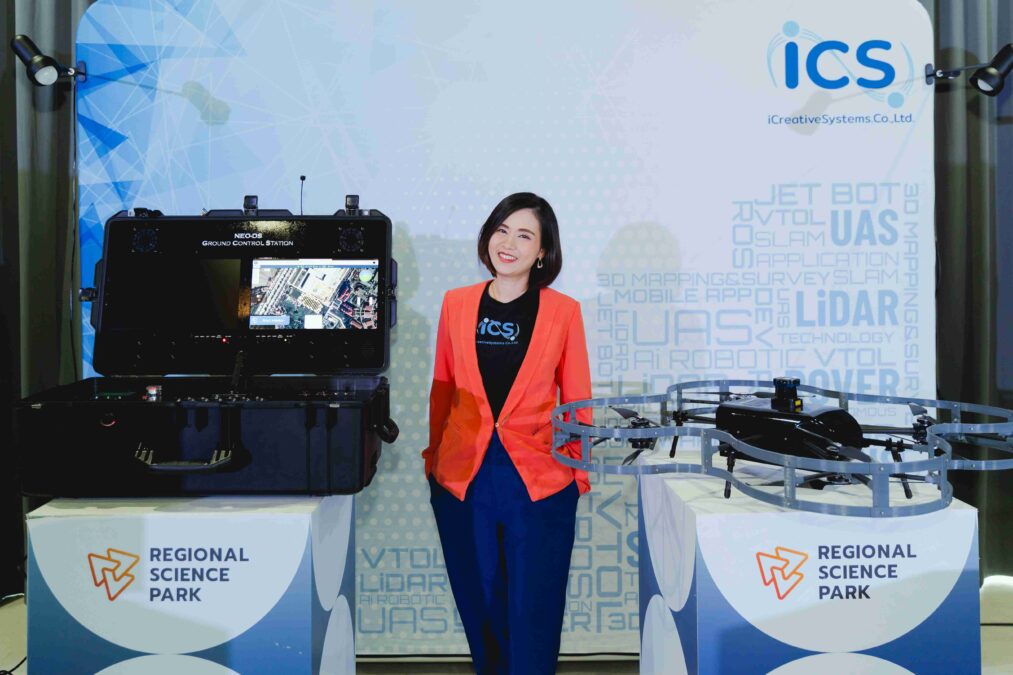
XFAS (Everything Fast as Services) is a platform that offers subscription-based rental services for digital aerial data and systems from unmanned aerial vehicles (UAVs). Users can rent UAV systems and digital aerial data services, including high-resolution images, 3D point clouds, and real-time videos. This is suitable for startups or SMEs that want to avoid high initial investments and are not yet familiar with the systems. Users can access the platform with online payment capabilities and send service requests to the operations team. The platform also provides artificial intelligence services for object detection and data transfer to the DroneBox platform through an API. DroneBox will notify users via email when the results are ready for use. The XFAS platform was developed through the collaboration of I.C. Creative Systems Co., Ltd. (ICS), a partner in developing the Vilverin VL-340 UAV drone, and X-Fast Co., Ltd. (XFAS), a provider of digital aerial data services. The project was led by Associate Professor Dr. Suradej Tantrairat, Suranaree University of Technology (SUT), and Associate Professor Dr. Duangdeun Atsavasutteerakul, Naresuan University, in collaboration with Mappedia Co., Ltd., which developed the cloud-based drone image processing platform (DroneBox) under research funding support and business model development from the Digital Platform Subcommittee, PMUC.
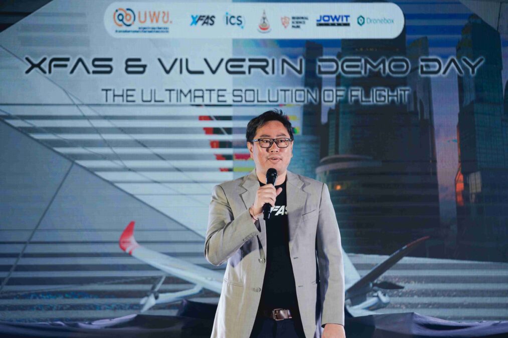

Asst. Prof. Dr. Vannarat stated that, “For this project, PMUC has provided research funding for a project-based research scheme under the Digital Platform Subcommittee. We have revamped the entire business model, and our committee has helped in reaching out to private investors to create a new ecosystem to boost research efforts that can be scaled up before entering the mass production investment phase, collaborating with various international industries. This project received additional support and contribution from SUT, which contributed its existing assets, making it a complete joint venture, involving I.C. Creative Systems Co., Ltd. (ICS), which manufactures UAVs and flight control software, X-Fast Co., Ltd. (XFAS), providing automatic aerial services, and Dronebox, which processes drone high-resolution images using cloud systems. This project received funding from PMUC, adding a significant element to the bigger picture, allowing high-resolution drone image processing in AI analytics to scale up the research project and develop unmanned aerial systems for actual market use.”
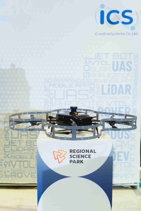
XFAS is an advancement and continuation of over five years of research work carried out by the Autonomous Control and System Engineering Lab, funded by the Digital Platform Group Planning Committee and the National Innovation Agency (NIA). This research has resulted in the development of an unmanned aerial vehicle (UAV) system, the Vilverin VL340, in collaboration with Thai UAV companies, such as XtremeComposite Co., Ltd., and I.C. Creative Systems Co., Ltd. This type of UAV is suitable for missions requiring long-distance and long-duration flights, covering large areas, including gas pipeline inspection, electricity transmission line inspection, large-scale mining site inspection, road condition inspection, forest mapping, carbon credit assessment, and urban mapping for Smart City projects. The Vilverin VL340 is ready to be launched in the market at TRL7, but further expansion of this product into commercial business models is necessary for real-world applications in various industries. Thus, this research project has pushed the development of unmanned aerial systems to TRL9 and the market through the XFAS (Everything Fast as Services) centralized platform.
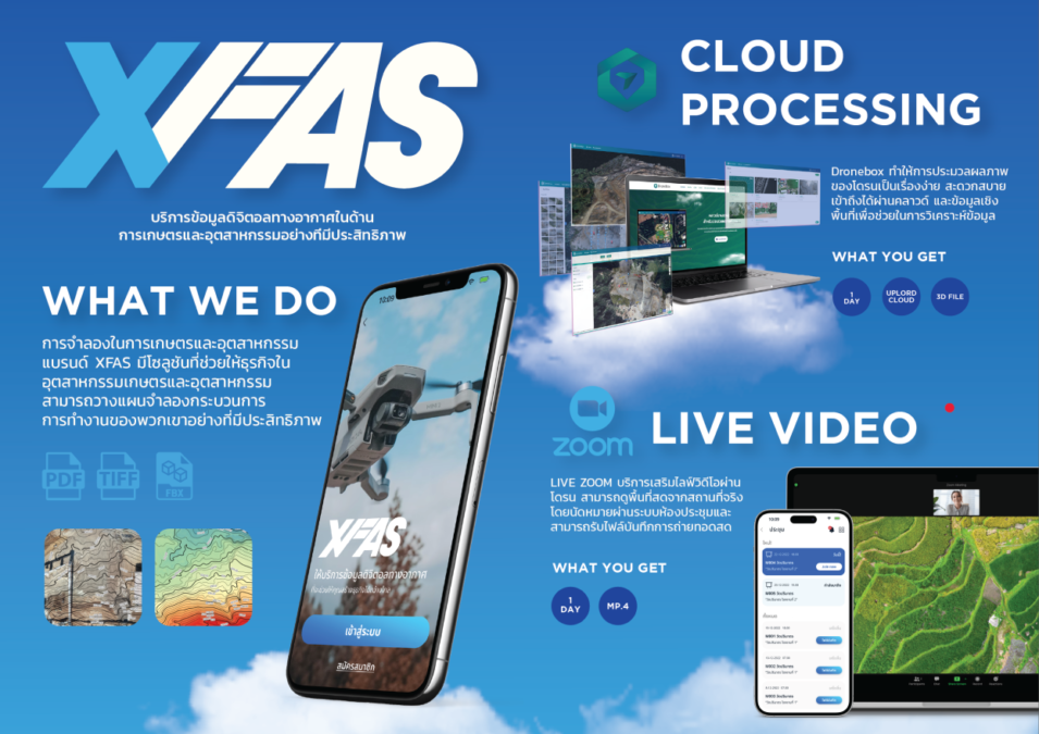
During this event, there were demonstrations of the XFAS digital aerial data services platform and the Vilverin VL-340 drone, showing their capabilities in aerial mapping, building and area inspection, as well as solar cell farm maintenance. This demonstrates the potential for research, development, and production of drones and digital aerial data services in Thailand, marking another significant step in enhancing the competitiveness of Thai businesses by advancing research and innovation. The XFAS digital aerial data services platform is now available in various service packages, with prices ranging from 5,000 to 120,000 baht, covering high-resolution aerial imagery, 3D city mapping, 3D forest mapping, construction site modeling, and cargo volume assessment. Those interested in trying the XFAS digital aerial data services platform can contact for more information via email at xfas.marketing@gmail.com or by phone at (+66) 89 767 2256.